
FirstCALL Snow and Ice Forecast: Winter Storm Likely Saturday and Sunday
- FirstWARN Tri-Cities Staff

- Jan 22
- 1 min read


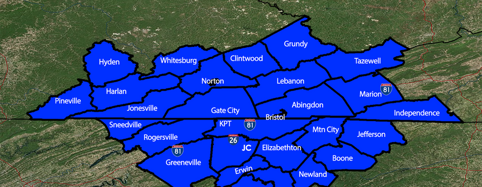


After extensive data and model analysis throughout the day and evening, we have assembled our FirstCALL snowfall and ice accumulation maps.
Please remember: These maps are preliminary and subject to change as newer forecast data becomes available.
At this time, the region is expected to:
Begin as snow
Transition to sleet and freezing rain Saturday evening and overnight
We could see a brief period of rain sometime Sunday afternoon before changing to quick burst of snow on the backside of this system
This forecast remains fluid, as some model shifts are anticipated over the next 24 hours, especially as Hurricane Hunter data is ingested into the forecast models.
The region remains in a Winter Storm WATCH from Saturday morning through Sunday evening.
We will continue to fine-tune the forecast multiple times a day leading up to the event and will provide up-to-the-minute coverage once the storm is underway.
Stay prepared and keep checking back for updates here at FirstWARN Tri-Cities.


Comments